Lines Labels Water

Terrain Scale: Blur: Rotate:
Webcam Flip

Rewind:

Presets:

Tangram Kinkade


To use

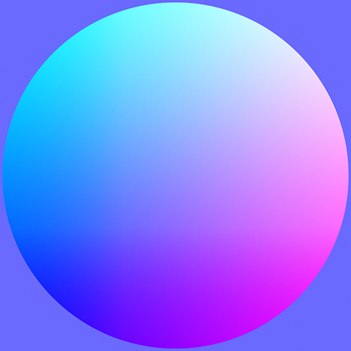
Draw in the pane on the right to paint a spheremap, which will color the interactive map on the left.

How it works

This tool uses a technique called sphere mapping. An image (the "spheremap") is used to color 3D geometry, by treating the image as though it is wrapped around a sphere. Then, faces of the 3D object are assigned the same color as parallel faces on the imaginary sphere. For instance, the color on the left side of the spheremap will be the color of 3D faces which point left.

Using the Tangram map library, the Nextzen terrain tiles are treated as though they are real 3D objects, and the spheremap technique can be applied to them too.

Learn more

To read about how we use spheremaps in our Walkabout basemap, read our blog post Sphere Maps.

To learn more about using spheremaps in cartography, read our blog post Mapping Mountains.

The code for this Mapzen project is open-source and freely available.

Secrets

You can drag an image directly into the drawing pane!

Press 'H' to hide and show the interface!

example images
locations
Mt. Fuji, Japan
Matterhorn
Yosemite Valley, CA, USA
Northeastern Oregon, USA
Western Bashkorotostan, Russia
Eastern Ghats, India
Balochistan, Pakistan
Issaouane Erg, Algeria
Grand Canyon, Arizona, USA
Mt. St. Helens, Washington, USA
Mississippi Meanders
scenes